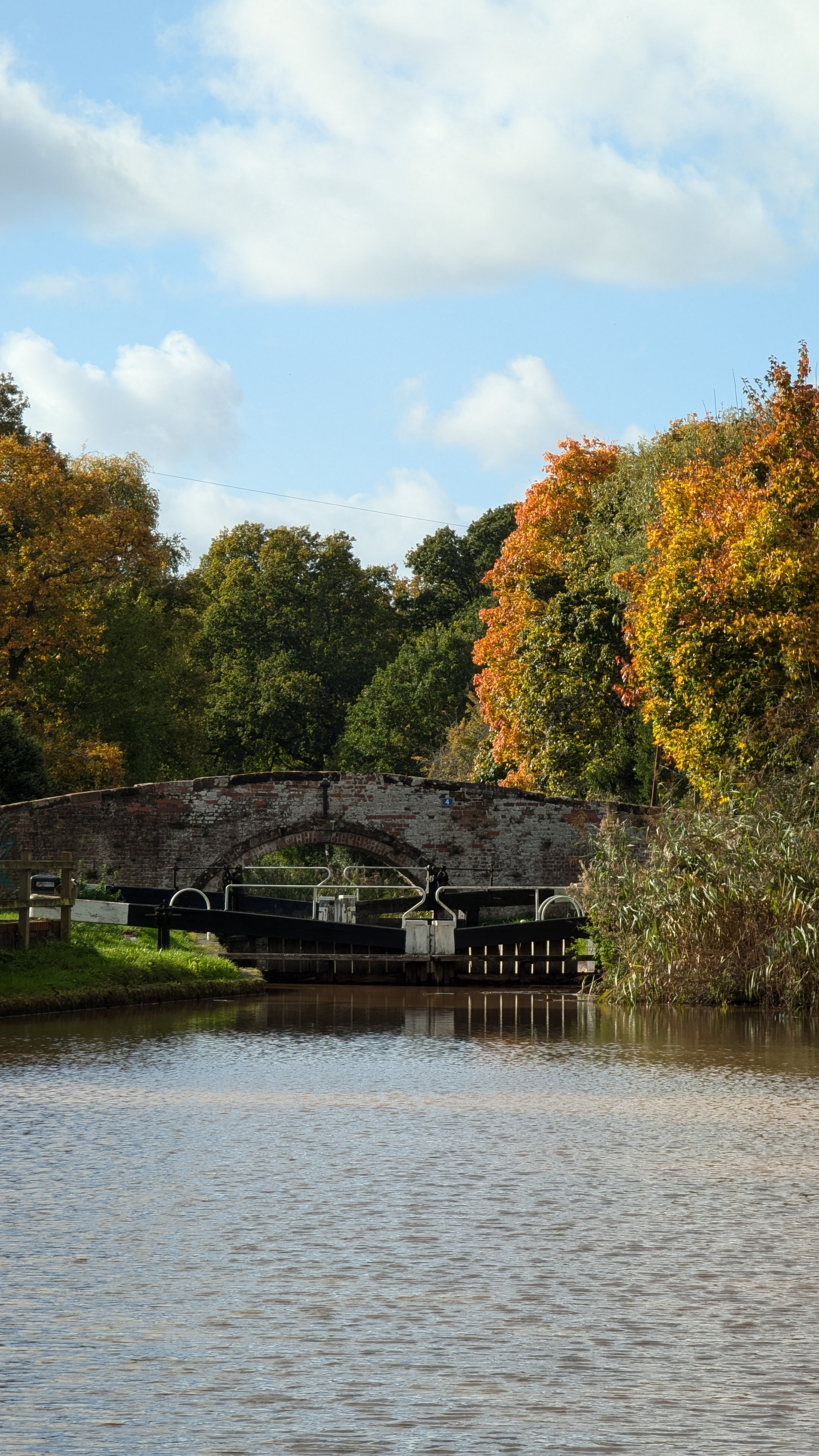
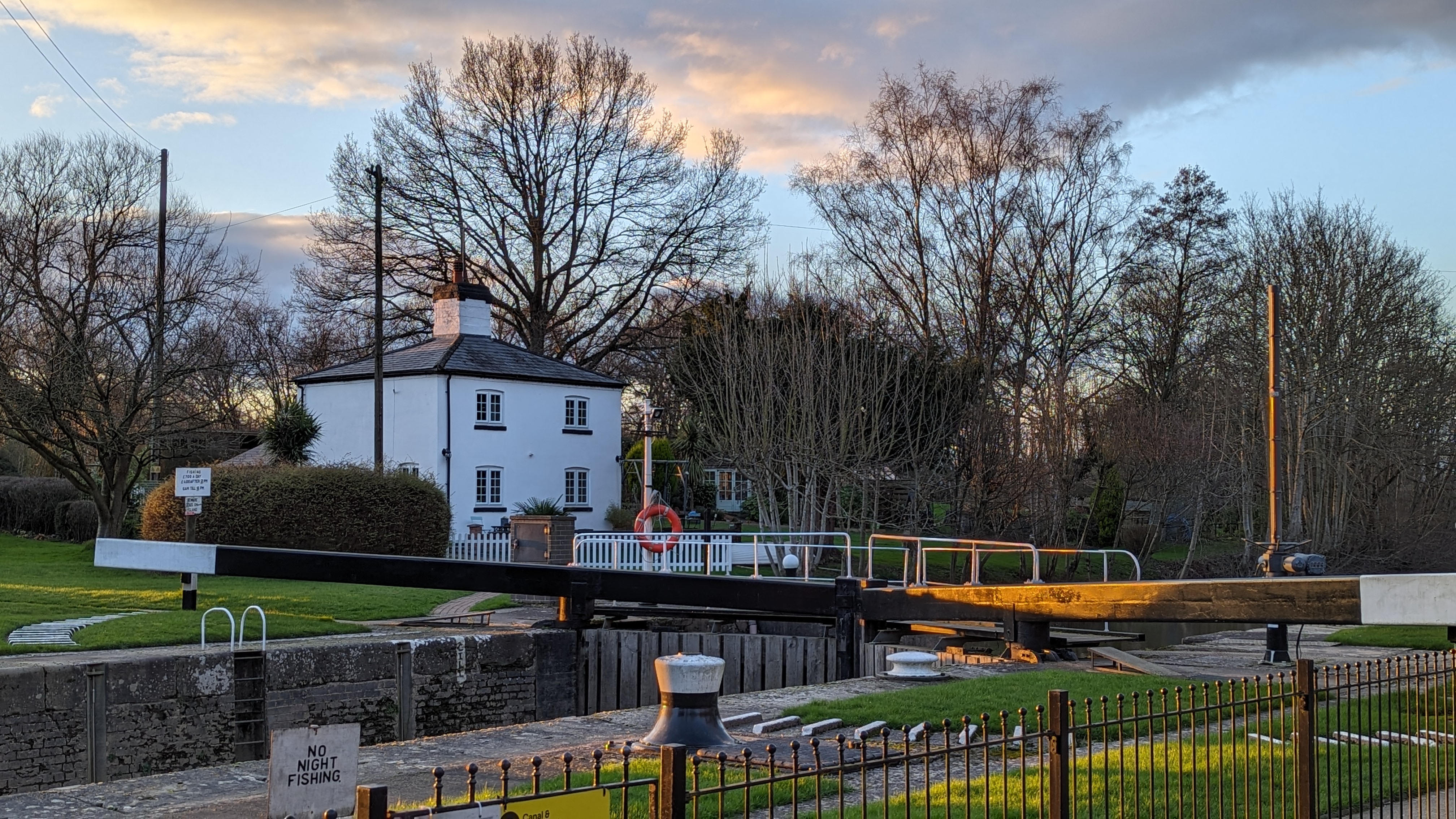
Today I decided to go on a doorstep walk which took me over to Mill Road, crossing the River Stour and onto the Staffordshire and Worcestershire Canal. Once in the canal, I followed the towpath down to the Timber Lane bridge, before turning off towards Wyre Mill Farm.
A Pastoral Scene, All Saints Church, Wilden
After crossing the Stour for a second time, I passed the farm and took the lane back out onto Wilden, which had a quintessential pastoral view of Wilden Church and the cottages along the main road.
The swallows are still here, and as I trundled east, I passed beneath three birds squabbling for a spot on overhead lines.
Squabbling Swallows
I made my way back home along Wilden Lane, underneath the Leapgate Viaduct.
I hadn’t walked Timber Lane before, and rambling along the narrow lane rekindled a sense of child-like adventure for me, the kind that only comes from discovering a place that one has never been.
With a hint of Autumn in the air, leaves on the ground, this short, local walk was surprisingly restorative, and I’ll look forward to seeing how it alters as the seasons unfold.
Last weekend Lauren and I decided to meander our way along the Droitwich canal from St Michael’s Church to the confluence where the River Salwarpe meets the Severn at Hawford.
We started the day by dropping one car off at the end point along Hawford Lock Lane behind the A449. We drove the second car to the canal bridge next to St Michael’s Church in Salwarpe, then began our walk with a chipper appreciation for the balmy autumn day that we had been blessed with.
Our route followed the Droitwich Canal, which proved to be ameniable considering the amount of rain we had in the preceeding week. Along the way we admired the stuctural seedheads of wild angelicaAngelica sylvestris and teaselDipsacus fullonum.
We sat on lock 5a to eat our lunch, then continued on west, past the Saturday morning fishermen at Porter’s Mill Lane and onward toward Mildenham Mill Lock.
Mildenham Mill Lock, Droitwich Canal
It was on this stretch that I stopped to collect some aquatic specimens from asluice between the canal and the Salwarpe. One of which was the ubiquitous Canadian waterweedElodea canadensis, but the second species was more intriguing. It was a fine-leaved aquatic, and after the initial thought that it was a Potamogeon. I quickly realised it was more likely to be a horned pondweed or a Zannichellia (See section 2 below ‘Horned Pondweed’).
The Sluice at SO86066020 with Elodea, Zannichellia and Apium inundatumCanadian waterweed Elodea canadensis
We continued to amble along the leafy towpath and came to a lovely section of canal flanked by mature woodland on the southern bank. Here I recorded some wild serviceSorbus torminalis. With a splash, we got talking to a fisherman who was unhooking a common breamAbramis brama. He informed us that the canal here was frequently inundated by the Salwarpe and enabled river species such as chub to enter the canal network and make for some exceptional canal fishing.
We passed underneath the A449 and were greeted by an expansive floodplain, which felt somewhat exotic against the autumn sun and blue sky. MistletoeViscum album conspicuously adorned the white willowSalix alba pollards and we turned back to the A449 for salvation from the flooded towpath.
Flooding where the Salwarpe meets the Severn
We returned to car number one, and swiftly realised that we had left the keys in car number two – a silent taxi ride was had back to the starting point. I can finally laugh about it now, almost a week later…ha
Horned Pondweed Zannichellia palustris
After consulting the Aquatic Plants of Northern and Central Europe, I believe it to be Zanchellia palustris, but have yet to put a sub-species to it. I was leaning toward sub-species pedicellata due to the following factors, but I am not confident to record it yet.
Horned pondweed Zannichellia palustris in situFruits, Horned pondweed Zannichellia palustrisLeaves around 1mm, Horned pondweed Zannichellia palustris
The fruits seem to have a pedicel of atleast 1mm, possibly longer.
There were three fruits at almost every fruiting node, some had two, none had more than three.
The leaves were around 1mm (narrower in subsp. palustris?)
The plants were located around 2km west of the Droitwich brine springs (pedicellata is more tolerant of salinity? Possibility.)
I have sent off photographs of the specimen to the BSBI aquatic plant referee and may also send a pressed specimen if time allows. watch this space…
OS Map Route: Salwarpe to Hawford via the Droitwich Canal
Lauren and I decided to visit the Wyre Forest for some autumn colour and the Wild Service trees Sorbus torminalis along the Dowles Brook didn’t dissapoint. We walked in from Buttonoak, stopping off at Coopers Mill to have lunch where we watched the cattle grazing the orchard on the slopes above.
We looked for the Bloody Crane’s-billGeranium sanguineum along the main track from Coopers to Knowles Mill. We counted six clumps on the downhill side of the bank and three clumps on the upper bank where it was seemingly being shaded out, with no signs of flowering or fruit.
We followed the Dowles to Knowles Mill then ascended up to the old railway line, before plummetting down Knowles Coppice in search of the Oak FernGymnocarpium dryopteris, but had no luck.
The route we took from Buttonoak into the Dowles valley
Ribbesford Woods – 5th October 2024
On Saturday we popped over to Ribbesford Woods as we hadn’t yet been there this year and we were glad we did. I am aiming to get out into the woods as much as my schedule allows, as I’m striving to bring more shinrin-yoku (Forest Bathing) into my life. I’ve become so engrossed in the minutia of botanical identification that I almost stopped getting the benefits of just being out in nature for the experience of it.
Ribbesford was kind to us, provided beautiful light and a refreshing walk. The Devil’s-bit ScabiousSuccisa pratensis still flowering, and a Comma butterfly was making the most of the autumn sunshine.
This is a short loop that can be done on foot in around 30 minutes literally from the front doorstep. Follow the footpath that can be picked up from the junction of Millfields Drive and the B4193 which runs along the bank of the River Stour.
The interior of the marsh is a fenced off and is sometimes grazed by cattle, and Hybrid Woundwort Stachys x ambigua is frequent along the riverbank. The footpath exits onto Mill Road. Here, where the Stour passes underneath your feet it feels like you could be in the Peak District, and on a hot day it is a oasis of cool air.
Hartlebury Common feels like a truely wild place and supports some brilliant wildlife. The world is your oyster here, with lots of winding paths amongst the bracken and gorse to get lost in. I like to combine the common with a walk through Hillditch Coppice to Charlton Mill.
Hillditch Pools & Coppice
Whilst this is technically part of the Hartlebury Common Nature Reserve complex, it’s worth visiting in its own right as there are pools and a lovely Alder carr woodland that is full of Marsh Marigold Caltha palustris in the spring.
The disused branch line of railway line was part of the original Severn Valley Railway and connected Hartlebury to Stourport, which was built around 1862. It is now a brilliant footpath and national cycle route which connects Stourport to Hartlebury passing the viaduct over the River Stour and through deep sandstone cuttings. From the viaduct there are panoramic views over the Wilden Marsh and over to Malvern, where on a clear day you can see the Worcestershire Beacon.
The railway can be accessed from many spots near Stourport: off Wilden Lane near the Rock Tavern, from the canal near the Bird in Hand and at the northern end of Millfields Drive. This walk can be combined with the Hillditch Coppice loop, back onto Hartlebury Common too.
Ruins of the Church of St. Michael
Walk along the towpath of the Staffordshire and Worcestershire canal from Mill Road, past the Bird in Hand pub and cross the Mitton Chapel No.2 bridge into St. Michael’s Churchyard.
Mitton Chapel No.2 Bridge. 23.10.2024.
At the western edge of the churchyard is a ruin. There are also some good Geocaches in the churchyard and along the canal towpath which are worth looking for. Combine this walk with a further walk down to the basins.
Remains of church, begun in 1881 but unfinished when consecrated in 1910. Never subsequently completed, and partially demolished in 1980. By George Gilbert Scott, continued after his death by his son, John Oldrid Scott. Sandstone facing over brick core. What survives is the footings for the west wall, and substantial parts of the north and south walls, including the south porch – Historic England
Staffordshire & Worcestershire Canal & Basins
Walk down the canal and follow it underneath the Gilgal into town. Pass the Black Star (a great pub, lovely food and well priced) and cross York Street to get to Mart Lane.
Here there are houses that are listed ancient monuments, as well as the main Stourport basin on your right. Follow Mart Lane down to the river, passing the basin and the Tontine on the right, here you are rewarded with great views of the Severn.
Lincomb Lock, River Severn
See my previous blog post about this walk, it can easily be done from Stourport by walking south along the lower common and crossing the Worcester Road onto Lincomb Lane. Pass through the caravan park and onto the Severn Way and Lincomb Lock is just a few hundred yards south along the footpath.
3 minute drive. Just down Wilden Lane and you can be at Wilden Marsh Nature Reserve, there is a small layby to park in next to the yard. We visited here with the NWFG in 2022, but that was from Marsh Farm. I’d like to revisit from the public entrance. More detail to follow.
6 minute drive. This ex-golf course is a botanical treasure trove, with all sorts of oddities turning up due to the disturbance and sandy soils. Parking: https://maps.app.goo.gl/ARqA76ACXJYjpT9i6. More detail to follow.
7 minute drive. Mixed grassland, heathland and woodland habitats. Apparently some of the best lowland acid grassland in the county. There is a small car park further up the Kingsway from Burlish Meadows. This can be linked with a walk to the Rifle Range and Devil’s spittleful.
Background & Motivations
I got my first car in 2018, and this was when I really started visiting nature reserves and going on what I deemed ‘adventures’. I was working for myself and seemingly had all the time in the world to carefully plan my forays out of Birmingham to the countryside.
Now that I’ve lived out here for a while (and don’t have the same urge to escape the city) I’ve noticed that I’m struggling with all of the choices of wonderful places to visit. So, future Tom, here’s a list of ‘Ten Spots within Ten Minutes’ of the front door. Make the most of those spare hours and golden afternoons.
My Skoda Felicia pickup truck parked at Deans Green, Warwickshire. 07.08.18.
Criteria for Inclusion
Travel time to the place must be 10 minutes or less from The Grove, Stourport-on-Severn.
The place must have natural history or local historical interest.
Additional Reading
For more inspiration on places to go have a look at:
A quick walk after work to go and see the Severn. We walked over the lower common, onto the A4025 then down the lane towards Lincomb Lock caravan park. We took the right of way uphill to the east of the park where we saw some nice woodland species, then cut down through the site.
Next we passed through the site gardens and got to the Severn where we walked down to check out Lincomb Lock and the lock keeper’s cottage.
Lock Keeper’s Cottage – Viewed from downstream with Lincomb Lock in the foreground.Lincomb Lock viewed from upstream, with sandstone cliffs in the background.
We decided to have a quick look at Stourport Marina, before heading back through the caravan site and over the common. The grounds of the site were well maintained, with an apiary, veg beds and a bug hotel!
On the way back we stopped off at Titton Stores to get breakfast and walked through the common by night.
Sunset over the Bog – Hartlebury Common
Summary
A quick, evening walk that took around 1.5 hours with a varied range of habitats such as heathland, woodland, gardens, wet woodland, riparian and urban. It was accessible but required stout boots or wellies in February, especially down by the river. Not particularly challenging – could be combined with a walk further up the river or back down into Stourport for a longer loop.
Lauren and I decided to go on a sunset walk passing over Hartlebury Common. We made our way through the oakwoods onto Hillditch Lane and back via Hillditch pools and Charlton Mill.
Hillditch PoolPathway Through Hillditch Coppice, with lots of Lesser Celadine
Records
Script Lichen Graphis scripta on Hazel in Hillditch CoppiceVinca sp.Lesser Celadine Ficaria vernaCharlton Mill pondWatermill – Charlton MillSweet Violet Viola odorata
On the way back we had a view over Stourport in the dark, with plumes of smoke sitting over the houses and river.
Summary
A reasonable walk that took 1.5 to 2 hours with a varied range of habitats. It was reasonably accessible but required stout boots or wellies in February. Not particularly challenging and made a nice change. This walk could be combined with the leapgate railway country park to extend it into a longer loop.